Our fifth annual trip to Skye. We arrived late Sunday, today was Wednesday and my first day on the water. The forecast for the week had originally been awful but it seemed the bad weather had not pushed this far north. The wind, my main enemy, was blowing in from the south west but was not particularly all that strong, force 3-4 occasionally 5. There were a few big trips I really wanted to get done, so for my best chance of success I headed north to the very tip of Skye.
Staffin, a large bay on the north east Trotternish peninsular. Last year I completed a trip from here heading south, today I will be heading north tying the two trips together.
For now the wind would be on my back as I briefly leave the shore and head around the back of Staffin Island and onto the islands of Eilean Flodigarry and Sgeir na Eireann.
East side of Staffin Island left and the steep cliffs guarding the island of Eilean Flodigarry right of picture.
Wind in my sail my bow drove on through the slight following waters sending spray into my face. This was the first time I had really used the sail to its full advantage and it was fun. I glanced town at my gps, if I could keep this speed up this would be a very short trip.
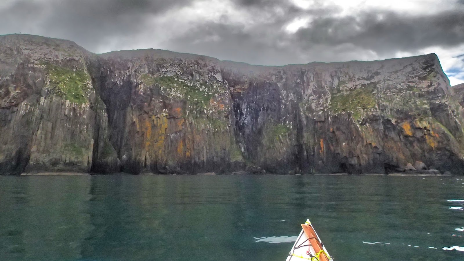
The impressive basalt cliff guarding the southern end Eilean Flodigarry grew ever closer.
Passing between the two islands I was joined in the water by some weary seals.
Continuing on looking back with the two islands seen left of picture over my right shoulder.
Out of the reach of the wind bellow the towering cliffs the geology continues to impress.
And so does the wildlife, two White Tailed Sea Eagles leave the cliffs and sore high above.
And you don't have to go to Ireland to see the giants footsteps.
As I take my time to explore this section continues to keep giving with sea stacks, caves, tunnels and arches...
After and hour and a half I reach the north side of Kilmaluag Bay I take the last opportunity to stretch the legs before I head around the north tip of Skye.
So far the conditions were perfect but for the moment I was on the sheltered side. Once I round the next point I will be exposed on all sides to weather, swell and fast flowing tides. Add into the mix the remoteness, loneliness and the not really knowing what to expect factor, the commitment weighed on my mind a little. But fear shows respect and to not fear the sea would be a mistake.
I push off from the pebble beach and round the corner and point my kayak north. The island of Eilean Trodday about 1.5km off the eastern tip looked temptingly inviting, but I didn't want to push my luck.
Turning west the northern tip opens out into a large c shaped bay. This is where many whale sightings are often seen...just what I need a pod of Killer Whales to ease my nerves!
I decide to stay relatively close to the shore where there seems to be a bit of back eddy flowing toward my direction of travel as predicted. It's calm, quiet and tranquil. The nearest road is at least 2km inland but there are a couple of people spotted walking atop of the cliffs.
A big sea stack marks the point where I make my final turn around the tip before heading south.
Here we go...the tides were really chugging along but there was nothing more than a bit of confused water thankfully. Mind I wouldn't fancy it on a big day.
The west coast unfolds before me and it's time to head south. Again the cliffs here tower above but lack the stacks and caves of the eastern coast.
Only three hours in and I am paddling along Tulm Island keeping an eye out for otters and heading toward my final destination.
Duntulm Castle marks the last point of my trip. I was here last year in rougher weather looking down upon the sea from the cliff above.
I land my boat on a small patch of white sand and dig out my sandwiches feeling extremely chuffed having just completed one of the classic headlands of Scotland. I head toward the back of the beach where I get mobbed by Japanese tourists excited to learn of my travels and how far I had come.
A sorry sight of a dead seal washed in on the high tide mark. Inspecting a little closer there is a clear gun shot wound to the abdomen which was clearly the reason for it's death. I am lead to believe fishermen are allowed to shoot seals in Scotland if they are encroaching on their fish stocks.
I spend forty minutes or so sipping my hot coffee from my flask taking in the views across the Minch onto the outer Hebrides. I pick out the Islands of Fladda-Chuain, another trip I hope to complete for another time. I study my map, roughly 7km further on (about an hour paddling) is another possible pick up point for my dad. I try to call him but there's no answer so text him my intended plans and hope he gets the message that I am to continue on to Camas Mor. I take a call from my dad not long after, he's come off the hill earlier than expected so is fine to meet me at my new destination.
And what a beautiful place to finish. Conveniently it had almost tied up another trip I did from Uig on our first visit to Skye.
I bring my kit up to dry in the sun where we enjoyed wide views of the Minch. This time I could now pick out the Shiant Isles, a distant cluster of small islands that would act as an overnight stop should you wish to cross the Minch to the Outer Hebrides.
After years of bad weather I could relax with a pint and a good meal tonight after completing a trip that had been long overdue on the Skye bucket list, and it lived up to it's expectations. The good weather would not last however as the island regained its reputation as 'the mistly isle'.