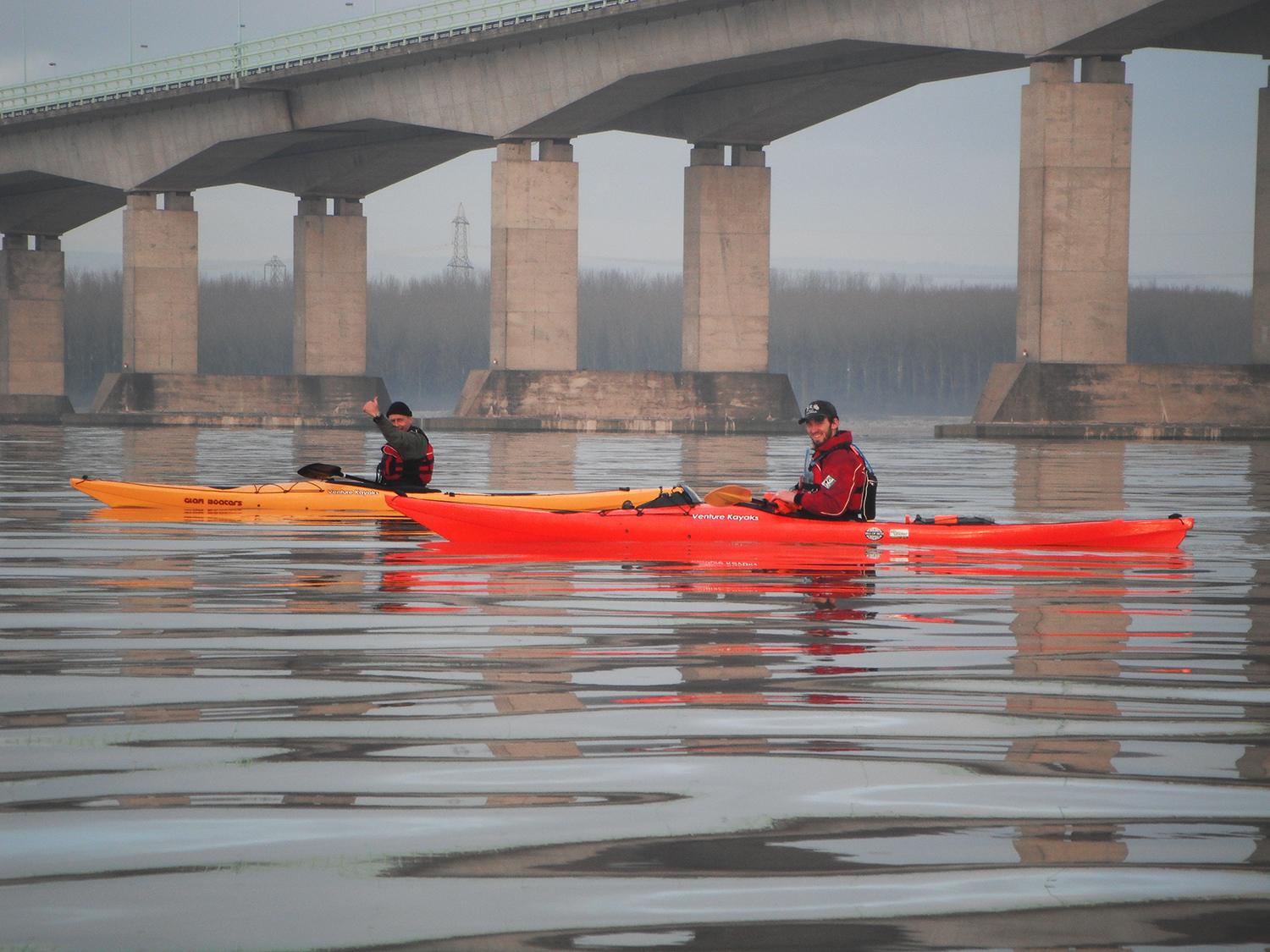
From the second Severn Bridge to Lavernock Point is known as the Severn Estuary. This is what we intended to paddle today. Upstream of the bridge is known as the Severn River and downstream Past Lavernock is known as The Bristol Channel.
This was a trip we had planned a while ago, the original intention was to launch off the River Wye in Chepstow but was put off for two weeks due to the weather. Luckily the nice weather held out till the weekend and I met up with
Taran and Richy next to Cardiff barrage at 6:30am.
We loaded the kayaks onto one of the vans and drove on up to Black Rock not to far north of the second Severn Bridge. All through the long drive I was thinking we got to paddle back all this way.
Upon arriving at Black Rock the tide was still flowing strongly in flood. We took some snaps and waited around for the tide to ease and turn before pushing off the frozen banks just as the sun peaked in a false sun rise above a band of low cloud.
The conditions were perfect and the sea mirror like considering the forecast was force 3-4.
I couldn't help but to take lots of photos, after all the scenery for the rest of the trip was probably going drab.

The size of this structure from bellow was inspiring as it bled out in to the hazy distance.
Picture above courtesy of Tarran, nice to have a couple of photo's with me in them.
On the other side of the bridge the estuary opened out in front to reveal what looked like the open ocean. See if you can spot the horizon in this picture as the sky blends with the motionless water.
A faint rainbow appeared briefly followed by a light rain shower.
There was a lot of debris moving down the estuary. A pair of birds (Water Stints? not quite sure) were hitching a lift on a gathering of twigs, and didn't seem to mind three brightly coloured boats approach them.
Our only possible landing spot came into view, and part of the reason for this journey. This is Deny Island, it marks the boundary line between Wales and England.
At first it's dark shape a lot like Steep Holm looked quite big in the distance. It wasn't until we got closer we realised just how close we were and how small it was.
We had to clamp on the breaks as we realised just how fast we were traveling.
With the prospect of being stuck in our boats all day we made an awkward landing on the lower part of the island.
At only 0.6 acres, probably smaller now it was high tide, there wasn't much to see. A bit of green vegetation, some gull nests and a very fishy smell. Although I bet very few people have actually set foot here.

There was what looked like what used to be a pay phone though!
We made an even more awkward launch as we set off again into the ripping tide at around 7-8knots.
After only about half hour after leaving the island we rafted so Richy could have another cheese sandwich and a fag. From right to left: Richy, Taran and myself.
From here on it was pretty un-eventful. We played a game of is that a buoy or a boat and whats that headland over there as objects appeared through the haze. We were fairly far out in the channel so the delights of Newport power stations were too far away to appreciate.
Picture above courtesy of Taran After nearly five hours of paddling or just simply drifting and chatting we arrived at Cardiff Barrage. We had a close call as we approached the barrage walls, scraping our hulls on the mud and rocks in the shallow waters.
Due to the big spring tides the water was very low, and there was still about another hour and half left before low water.
I called up the barrage control last night but they said we weren't allowed through the locks so it was a muddy climb up the steps, not recommended!
A total 20.97 nautical miles and an overall average speed of 4.3kts even though when we could be bothered to paddle we were averaging 6-7kts. I can't say that I didn't enjoy it because I did and time seem to fly by in good company. Not the most scenic of trips but still something new and one that not many other people have done. Now back home to hose down all my kit, this mud doesn't come off easily!