"This trip offers wildlife, history, geology, coral beaches and a pub to finish" (Scottish sea Kayaking, Pesda Press)...What more could one want.
The wind today was coming in from the south east so it was an opportunity to visit the north west side of the island. I picked a trip straight out of the guide book. Dunvegan and the surrounding coastline also offered my dad plenty to do and see on land.
I Launched through the golden kelp near Dunvegan Castle with Macleods tables on the horizon. This place was a wildlife haven. The small islands within Loch Dunvegan were littered with seals and birdlife. I could have stayed here all day and enjoyed myself, but it was time to push off from the restraints of the shore and emerge myself in the world only a sea kayaker can enjoy.
Not wanting to disturb the young seals I kept my distance and packed my long telephoto lens to get some close up shots of the wildlife on offer...
No matter how much distance you give them, some seals can't help being curious.
Crossing the short distance between islands, Dunvegan Castle came into view over my left shoulder.
I spent some time weaving between the small skerries and kelp before crossing back over the loch to Camalaig Bay.
I hadn't been on the water long but I took the recommendation from the guidebook to land here to explore the remains of a broch.
Talking to myself with a bemused onlooking highland cow, I said the hell is a broch??? The ground was uneven, overgrown and difficult to walk though in my wet suite slippers. I figured I would climb up on to the hill on my right and if I can't see anything I continue on my way.
Ah a broch I assume.
A single entrance leads to a series of rooms and corridors winding up to an upper level. A broch, I later researched, is an Iron age structure only found in Scotland, mainly in the north west. There is still some argument to what they actually were. Some believe they were the Scottish equivalent of hill fort while others argue they were farming structures. Whatever they were there is no arguing they are impressive structures that have stood the test of time.
History lesson complete it was time to get back on the water and make my way along the eastern flank of Loch Dunvegan in search of the coral beaches near it's end.
Up ahead a crystal white beach were clearly visible from some distance. However the low tide kepl kind of spoiled the tropical image I had imagined in my head.
My dad had made his way up the coast also and had come to meet me here.
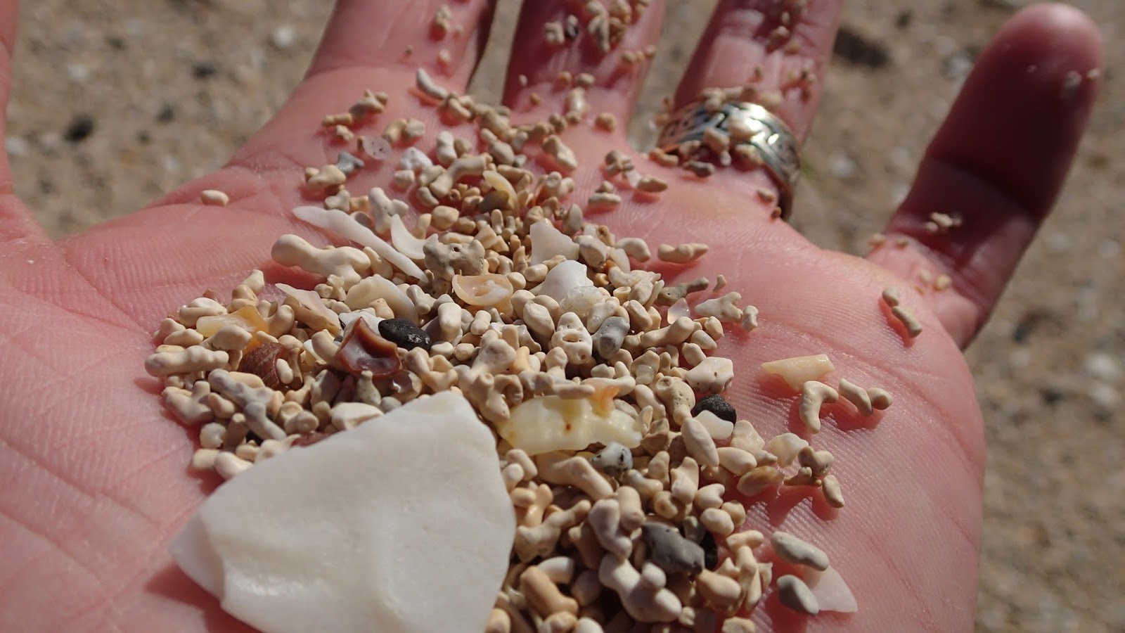
The coral in the coral beach is not coral at all but fossilized algae, but algae beach has not quite the same appeal.
After a brief break with my dad I was back in the seat on my way again.
A short crossing from the end of the head is a cluster of small islands Isay, Mingay and Clett. The crystal clear waters shone with the white sand bellow.
Whilst only a kilometer at best from the busy coral beaches on the mainland it felt very lonely out here on the northern extremities of the island. Two white tailed eagles left their perch on the cliffs as I rounded an outcrop, possibly the closest Ive been.
There was the odd seal also but not in the numbers I saw earlier.
On the eastern shore of Isay is a small abandoned village but finding a suitable landing spot was proving difficult.
After paddling up and down the eastern shore and back again I found a spot with a vague clearing through the low tide kelp leading to the overgrown tufts of grass.
Along the edge of the shore the remains of some eighteen cottages can be found that once housed a community of 90 people in the 1800's. Set alone at the end of the village is the grand main house. I made my way awkwardly through the overgrown grass toward the remains of the house. An eagle left the top of the building as I made my way over and was soon circling high above.
I entered the building through a collapsed window. Eagle droppings splattered the wall from where I saw the bird perched earlier. Bones from fish, sheep and small birds littered the floor dusted with plucked feathers. The high walls of this building are obviously a favoured perch for where the eagle brings his catch of the day.
If it wasn't spooky enough being out here alone on a remote island amongst the remains of a ruined abandoned village, strewn with the remains of dead animals, this house has a gruesome tale to tell. Standing within it's walls I read from the guide book....
"The main house was the scene of a gruesome Massacre in the 16th Century, when Roderick MacLeod owned it. He wished his grandson to inherit the island, but unfortunately there were two families with the first claim to the island. To solve this inheritance problem he invited them all to a big meal, and after eating called the potential inheritors of the island into his room for discussion. As each inheritor came for their discussion with MacLeod they were duly murdered until his grandson was left as the sole inheritor of the island" *Scottish Sea Kayaking by Doug Cooper & George Reid
Time to leave, looking back over my shoulder toward the ghostly remains of the house.
It was time to make the final crossing of my trip over to the picturesque village of Stein passing the small skerry of Sgeir Nam Biast on route.
I was worn out paddling into the stiff breeze into Stein. I spotted my dad waving me in from the beer garden of the Stein Inn. We hauled up my boat alongside a bench in the sun where a steak pie and a pint of Skye's finest beer awaited me, a perfect way to end a magnificent trip. Highly recommended.