Wind, Wind and More Wind!!!
After a sleepless night I finally gave up trying and just got up. The tent was still flapping about and on closer inspection there were two broken poles, ripped seams and a broken zip. Most of the guidelines had been ripped out and the only thing that stopped us blowing away was the fact we tied it to the car. My dad went over and paid for the next night and the lady in the shop said are you sure...if you thought that was bad it's going to get twice as worse and had been given weather warnings for severe gales.

We bundled the big tent into the car and put up the two smaller tents. Everyone was also packing up until finally we were the last ones there. The two smaller tents didn't look like they would last the night either so we packed up in search for more sheltered pastures. I caught the morning forecast on the VHF 'force 8 gale warnings'.

Camp at Portree
We ventured back towards the main road running through Skye and up to what you could call the capital, Portree. There was a stunning camp site up on a hill about a mile or so from the centre which was recommended in one of my dads walking magazines as the best camp site in Britain. By the time we pitched the tents for the second time today it was late afternoon. We ventured into the town for a wander round and a few pints. By the afternoon pretty much everyone that was at the last campsite was pitched here also.
DAY 5 - Tuesday 7th September
After the best night sleep since I got here (drink might have helped) I caught the mornings forecast on the VHF...'south or south easterly force 5 or 6 becoming 8 cyclonic with F9 gale warnings'. Not really what I wanted to here. Portree harbour looked pretty smooth last night but on passing by it wasn't the case today. The boats were all straining at there moorings. My dad was heading up the north east coast toward a place called Staffin.

Staffin Bay
I was up for a windy day but there was no chance! I wandered down to the beach, there was sand being blown about, spray off the sea, I could barely stand!

The gannets seemed to be having a hard time as well. These are from a video so the quality is not so good.

My dad was climbing the Quiraing today along a road that cuts through the north of the island through the mountains.

Views from the road, it wasn't misty just hazy.

Road up through the mountains

The road came out on the north west coast at a place called Uig. It still looked a little choppy but far better than the other side of the island. I unloaded at a slipway and headed out into the bay.

Poser!

I paddled under the pier where the ferry docs for Uist and Harris. The pier legs were covered in muscles and barnacles.

Out of the bay the wind picked up again, nothing to worry about though. With no plan I didn't know which way to turn. There was a stack marked on the OS map so I headed north to check it out.

There it is.

Some kind of Sea Urchin.

A sea of seaweed.


Past the stack the coast looked pretty drab and drawn out so I turned back so see what was over the south side. Looking out toward the Minch I saw a group of dolphins swimming north quite far out.

Paddling back the down drafts off the slope were extremely strong, at one point all I could do was brace. The further toward the bay I got the more the wind wrapped around the corner. The ferry passed by heading for the pier.

The sea once again was by no means rough or big, just absolutely forceful winds.


Nearing the head of the bay I had to stop and get out of the wind so I dragged (no chance of picking it up) my boat up on to these rocks.

peering over the rocks the wind eventually dropped enough to paddle back.

After a long hard slog I finally made it to the shelter of the pier wall. With all that messing about with the wind I had about an hour left before my dad came back, so I paddled across the bay into the shelter of the noth facing slopes.
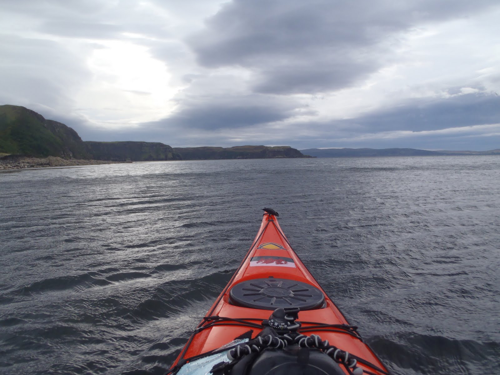

At the sea's edge there were shallow reefs stretching quite far out, only a few feet deep, this was the same all around the coast from what I could see. Underneath were forests of seaweed, proper seaweed as well, not the horrible black stuff we get at home. I bet they were teaming with life.


I landed at the nearest beach where I found hand fulls of scallop shells and dried out sea urchins like the one I saw earlier.

From the back of the beach you could clearly see the downdrafts coming off the cliff behind. You could clearly make them out, swirling around like mini tornadoes.

The clouds started to look pretty menacing overhead so I started to make my way back.

And with the cloud the haze began to lift uncovering Outer Hebrides in the distance. This was another intended tip if the conditions were perfect (force 2 or less). 30km to the Shiant Isles camp overnight then another 30km to Tarbert on Harris, now that's a trip! No chance of that this week though.

Looking down on Uig Bay
We stopped off at a few places on the way back for some photo opportunities.

180ft waterfall at Kilt Rock


Islands of Rona and Raasay in the distance and The Old Man of Storr to the right

The only ones braving the conditions were the life boat crew heading back to Portree I guess. The Island of Raasay in the background is a three day trip to circumnavigate according to the Scottish Sea Kayak guidebook.

The Storr

Not completely satisfied with my 7.5nm trip earlier I get my dad to drop me off at Portree Harbour as the wind have pretty much ceased now. The life boat we saw earlier had just docked at the harbour.

I had a roam around the harbour and out to the fishing pontoon.

Our campsite must be up in the valley between these two hills.

The lifeboat was now moored off shore and on closer inspection found it was the Barra Island lifeboat just south of Uist.

Portree Harbour, the pink guest house is up for sale at £500,000 and the blue building is a really friendly pub serving real ales. Next door is a chippy with the best fish and chips I have ever had.
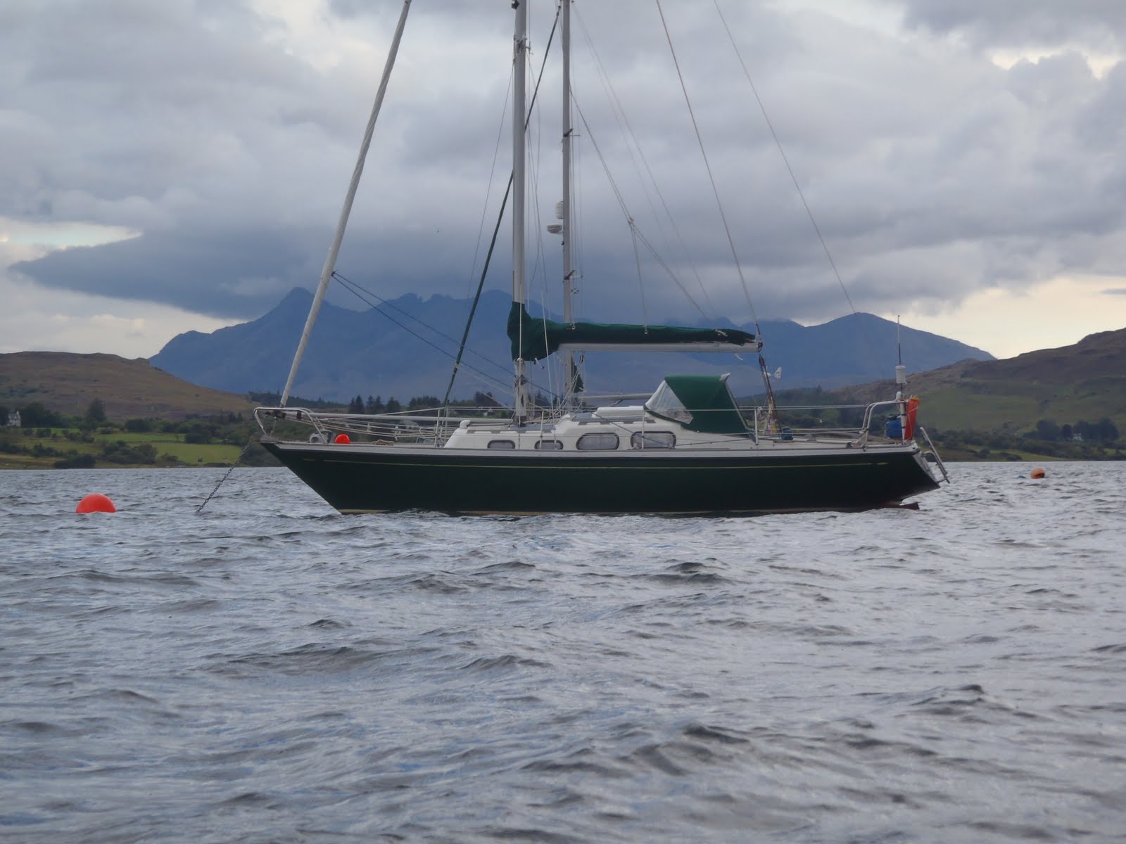
The Black Cullin Mountains almost capped with cloud

After a few pints in the blue pub and fish and chips next door we followed the sound of bagpipes into the high street for some traditional entertainment.


A disapointing day kayaking wise but managed to fit in some of the sights. Winds are supposed to calm dow a bit tomorrow (can't get much worse), fingers crossed!