Sunday, 6 November 2011

Caravans' Sea Phew!!!

I have to admit I can't take full recognition for the title, I pinched it from the Sun newspaper, where else?
I spent all day yesterday on my boat project.  I have received a few needed bits and pieces and spent the day planing, sanding and filling and cutting the cockpit.  (The cockpit above is cardboard for size).  I spent this morning cutting the cockpit recess and could easily have spent another day whittling away but decided it was about time I actually did some paddling...
I left my local Gilestone beach a couple of hours before high water and sunset.  The plan was a short paddle to investigate the landslip at Porthkerry caravan park that fell last Monday.
It had been surf all the way up but luckily Rhoose point had provided the shelter needed to get up close to the shore.
 All the caravans have since been taken back except this one that still looks rather too close for comfort.  Looks like other people had the same idea, scrambling the narrow slither of beach to see the cliff fall.  The water comes right into the cliffs along here but still people are marching along as the tide rises.  I've got a feeling there may be some rescues over the next few weeks.
Much of the cliff still looked like it was only just clinging on and I'm sure parts will continue to fall over the next few winter months.
Here is an aerial shot from one of the news sites, in the process of moving the caravans.
What remains of someone's patio area.  The whole Glamorgan coastline is made of sediments of Jurassic Limestone, all very loose and in danger of collapsing without warning.
I carry on a short while along the golden cliffs, all showing evidence of previous landslides.  It's still another hour before the turn of the tide but I turn back anyway not wanting to paddle home in the dark.  The long eddy in this bay provides a good push in the right direction.
 The low Autumn sun highlights the golden cliffs beautifully at Rhoose Point. 
I took my new piece of handy work for it's first soaking, not used it yet though, think I'll try it out in the pool first.
On the way here the water was a bit random but with the turn of tide the conditions become glassy and flat.
I stop off just before Aberthaw power station, these nice sandy beaches are a hidden gem far beyond the beach access.
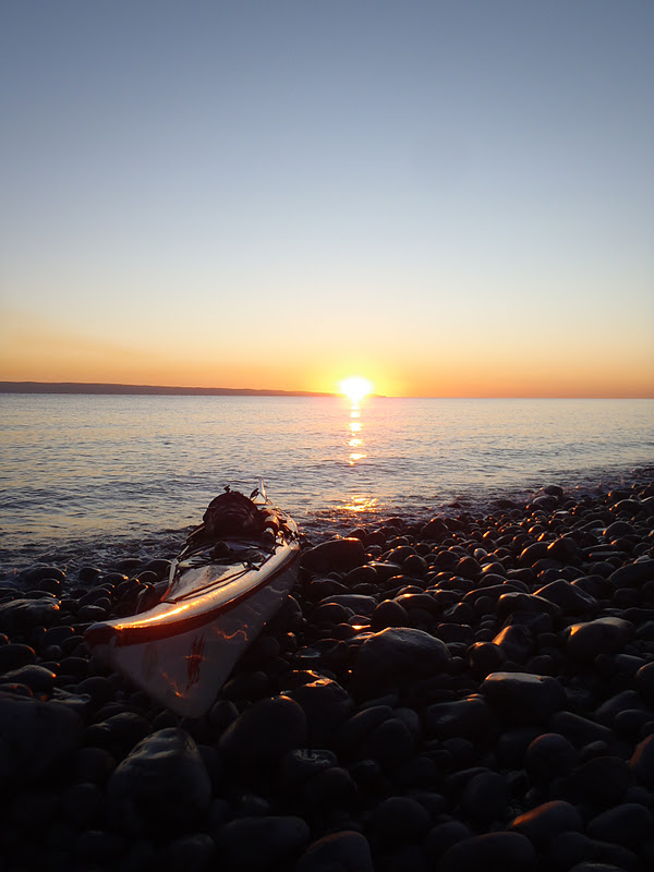
As the sun dips lower it become blinding.  During the summer the sun would be setting just beyond Nash Point but with the turn of the seasons it's now jumped over to the English side of the border to set.
I land just as the sun is about to dip bellow the horizon.
Not happy with the colours in this shot.  I lost my picture editing software when my computer was serviced recently, not happy!
More boat building to follow shortly and hopefully some more paddling too...

Tuesday, 1 November 2011

Building a Norsaq

A Norsaq, or rolling pin as they are now commonly referred too, is a hunting tool used by the Aleuts and Inuits.  The carved wooden tool was primarily used to aid the throwing of a harpoon to hunt.  If the kayak was to roll over, the norsaq was used as a paddle to right the kayak. The Norsaq has become a popular accessory for the Greenland enthusiast as a rolling pin.
Here is my finished piece.  I had a short piece of 1/4" red cedar lying around from my boat build so decided to have a go.  Granted it is a bit dull looking compared to the one's on the market with vinyl inlays and contrasting woods, but this is all I had.
 I started off drawing the outline.  My design is a varied mix of styles.  Most Norsaq would have a hollow channel up the middle and two holes to house the harpoon.  As I will not be hunting whales I left this out.
Next I roughly used a jig saw to get the desired shape.  Traditional Norsaqs are also quite narrow.  As mine would be used primarily as a rolling tool I shaped it more like the end of a Greenland paddle.  The V in the top is for the thumb and the W at the bottom for my first three fingers from the pinkie.  The size of the paddle is two outstretched palms and one index finger from second knuckle to tip.  The width at the handle is three fingers.
Next I marked out the angles.  Simply rounded at the handle and sloping off to a point at the tip, much like a Greenland paddle.
Lots of plaining and sanding!
Attention to detail.  I drilled a finger sized hole for my index finger, a design used in some Norsaqs.
Drying out with four coats of boiled linseed and a few coats of varnish and I have a nice shinny Norsaq.  I think I will have a go at making some more traditional styles with some better wood in the future.    Now to try it out....

Monday, 31 October 2011

Halloween Paddle

I've been lazy lately so thought I would make an effort to get out to Monday club down the Bay.  Only Stuart and Chrissy tonight and they weren't venturing far.  I went on ahead of them to cross over the bay before returning to join them for the paddle back up the river.  A very pleasant evening paddle.

Wednesday, 12 October 2011

Shores of Flat Holm

SUNDAY 2nd OCTOBER 2011

It's been an unusual week for this time of year and I plan on making the most of it while it lasts.  Hot dry weather means a very busy week in work and plenty of catching up.  Low water is about 17:20 and it's just coming out of spring tides so they are still big.  After a couple of drive byes I manage to grab a space on a hectic Penarth promenade two hours before low water.  Shorts and T-shirt job today, much to warm for a dry suite.
The water is still and glassy but clearly moving fast casting swirls of silt into whirlpools and boils.  I get a little weary as the venture jets speed past after one very unfortunate incident to a gentleman on the kayaking forum.
I make a good wide ferry angle allowing for any mistakes but it's still a hard push at the final leg to get around Castle Rock.
I paddle past the usual landing spots and pull up on this nice shingle beach enclosed by a steep cliff in the shade.  It only took 35mins to get here so I have another hour and half to spare.  Usually I would probably venture out to Steep Holm but I decide to stay here and take it easy, the weather is fantastic after all.
I scramble around the cliff to the left of the beach and suddenly notice how quiet and peaceful it is.  Not a single gull in sight!  With the water still retreating I decide to explore the coastline.  I have been to Flat Holm more times than I wish to think and never explored the island from shore level.
Normally I would be a few meters higher taking pictures from inside this cave.  It's feels weird walking into it.
Looking out you can see how high up I am and how low the water is.  Like I said I would probably be another 6 feet up on the surface of the water.  The inside is covered in a this layer of mud.
Around the next corner and the light house comes into view above a lovely sandy beach.
Underneath the old TB hospital and barracks is this large overhanging cliff.  Hard to judge from the photo but it's really steep and huge.  Difficult work in my flat soled wetsuit boots.
Up inside this crevice the cliff walls are buzzing, hundreds of bees all flying about between the cracks.  It's the same storey for the rest of the caves and cliffs around here.  A few month earlier and I would be getting my eyes pecked out up here!
The floor is scattered in a mix of finds.  Here some ammonites remain fossilised in the pebbles.  I found most of a car, a fridge and tons of scrap metal.
Carrying on the beneath the lighthouse one of the old WWII lookouts comes into view.  The rock now turns into a lethal sharp volcanic kind which is painful on the soles of my soft shoes.  Rock shoes next time I think.
Looking up the steep cliffs to the light house from part of a wreck.  There's nothing flat about Flat Holm!
I get to one last headland that reveals Cardiff in the distance and decide to turn back.  The tide will be turning soon and I don't want to be cut off.  If I had planned it I would have done a full circumnavigation by foot.  I turn around and scramble back along the sloping cliffs.
I notice a dark crack in the cliff on the way back.  I have to breath in to get through and it's very narrow inside.  There's a light at the end of the cave where there is a small window leading out on the opposing cliff.
I don't think I would get a boat in here.
The lines in the rock are fascinating, like something has carved it's way over the rocks.  Again this island is far from flat.
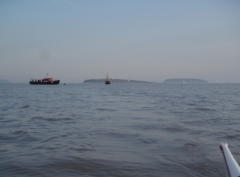
Looking across the haze to Steep Holm, that would be a great scramble around that shore line, definitely need a pair of rock shoes for that one.
Amazed how far the tide has gone out in the last hour or so.  Not much of a scramble onto my beach anymore.
She's still there, always a worry.  I walk over the other side of the beach to see if a circumnav would have been possible.
An island sheep make a noisy appearance up on the steep cliffs.
Note the high water mark here!
More sea junk.
Back in the boat and the water is still as it reaches slack water.
It may be unusually warm for this time of the year but a low sun in the sky shows it's nearing the winter.
Looking back on my trip there doesn't seem to be much flow as I head directly for Penarth.  The wind starts to pick up as predicted over the radio.
The sun dips lower in the sky as my trips comes to a close.  Not quite the dramatic scenery of Skye but great in its own right, and nice to be back on home waters on such a beautiful day.